Researchers have developed a sophisticated artificial intelligence framework to identify and map the precise locations where new green spaces are most needed across Tokyo. By leveraging extensive visual data of the urban landscape, the new system offers a strategic guide for city planners to combat rising urban temperatures and enhance environmental resilience through targeted greening initiatives. This data-driven approach moves beyond ad-hoc planting, providing a comprehensive blueprint for integrating nature into one of the world’s most densely populated metropolitan areas.
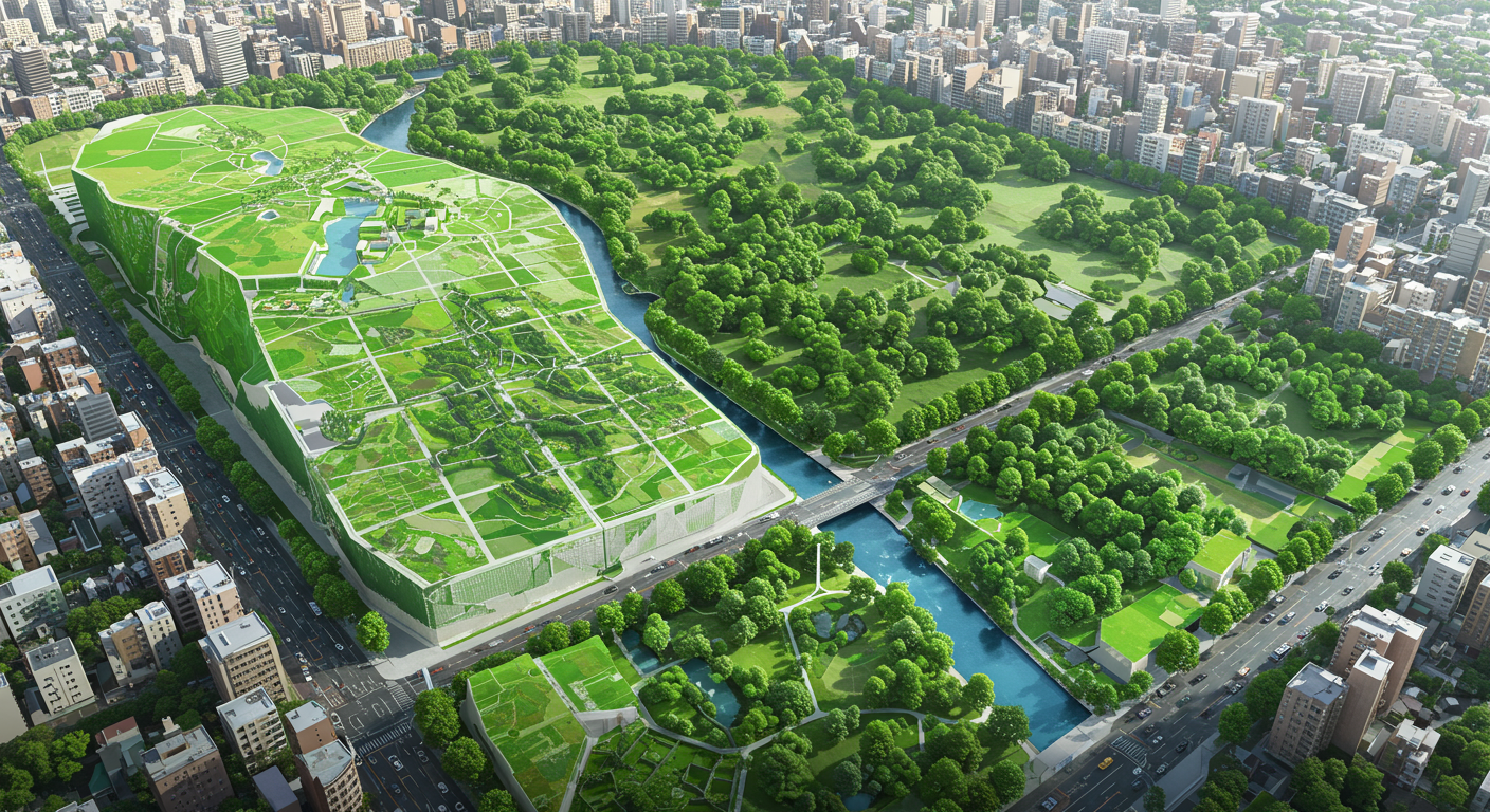
The pioneering study, led by researchers at Chiba University, addresses a critical challenge for megacities: the scarcity of available land for traditional parks and green spaces. Their solution focuses on vertical greening—the practice of growing plants on building facades and other structures. To determine where these installations would be most effective, the team created the first-ever citywide map of existing vertical greenery across Tokyo’s 23 wards. The project’s centerpiece is a new metric, the Vertical Greening Demand Index (VGDI), which pinpoints priority zones where green infrastructure can most significantly improve local environmental conditions and the quality of life for residents.
A Strategic Solution for Dense Environments
In a sprawling metropolis like Tokyo, finding space for new parks or planting large trees is often not feasible. This spatial constraint has made vertical greening an increasingly vital strategy for reintroducing vegetation into the built environment. These “green walls” and vegetated facades can help cool ambient temperatures, improve air quality, and enhance biodiversity. However, until this study, there was no systematic method for assessing where vertical greenery was already in place or where new installations could deliver the greatest benefits. This gap often led to an uneven distribution of green infrastructure, leaving many communities without adequate access to its environmental advantages. The Chiba University framework was designed to close this information gap, providing a tool for more equitable and effective urban planning.
Harnessing AI to Map Green Infrastructure
The research team developed a powerful and innovative methodology to create a detailed inventory of Tokyo’s existing green assets. Their approach combined artificial intelligence with vast public datasets to achieve a comprehensive and high-resolution view of the city.
Deep-Learning Model and Data
The core of the project involved a deep-learning model, specifically YOLOv8, which was trained to analyze images and identify specific features. Researchers fed the model more than 80,000 images from Google Street View, teaching it to recognize various forms of vertical vegetation, from fully cultivated green walls to smaller balcony plants. This AI-powered analysis allowed the team to automate the monumental task of surveying thousands of streets and building facades, generating a consistent and objective dataset of existing greenery.
Creating a Citywide Inventory
The analysis resulted in the first comprehensive spatial inventory of vertical greening across all of Tokyo’s 23 wards. This map provides a clear visualization of how such greenery is currently distributed, revealing patterns and disparities across different districts. Professor Katsunori Furuya, the study’s lead author, explained that the goal was to understand how the current distribution aligns, or fails to align, with the city’s environmental needs. By pinpointing areas that are currently lacking in vegetation, the map serves as a foundational tool for planners to target future greening efforts more effectively.
Introducing the Greening Demand Index
Beyond simply mapping what already exists, the researchers developed a novel metric to guide future interventions. This new index synthesizes multiple environmental factors to calculate the urgency and potential impact of adding greenery in specific locations.
Defining Priority Zones
The Vertical Greening Demand Index (VGDI) is a composite measure that identifies “priority greening zones” throughout the city. It integrates several key spatial data points, including land use patterns, building density, surface temperatures, and pedestrian heat exposure. By combining these variables, the VGDI produces a nuanced assessment of demand, highlighting areas where high population density and heat exposure coincide with a lack of greenery. These zones represent the locations where new vertical vegetation could most dramatically reduce surface temperatures and improve thermal comfort for residents and pedestrians.
Guiding Strategic Interventions
The VGDI provides city authorities and urban planners with an actionable tool for decision-making. Instead of relying on guesswork, officials can use the index to allocate resources to neighborhoods where the environmental returns on investment will be highest. This ensures a more strategic and socially equitable distribution of green infrastructure, helping to ensure that all residents, regardless of their district, can benefit from a cooler and healthier urban environment. The framework’s ability to visualize these underserved areas makes it a powerful instrument for transparent and sustainable urban planning.
Implications for Global Megacities
While the study was focused on Tokyo, its methodology and framework have significant implications for other dense cities around the world. As urban populations grow and climate change intensifies, many megacities face similar challenges of rising temperatures and limited space for traditional parks. Cities such as New York, London, Singapore, and Hong Kong could adapt this AI-based approach to map their own green infrastructure and identify opportunities for expansion. The researchers hope to refine the model further by incorporating additional environmental variables, such as air quality data, energy efficiency metrics, and carbon sequestration potential, to create an even more powerful planning tool.
The Future of Climate-Resilient Cities
This research marks an important step toward the deeper integration of artificial intelligence into urban ecology and climate adaptation strategies. Professor Furuya has stated that vertical greening is not merely an architectural choice but an “environmental necessity” for modern cities. The framework developed by his team demonstrates how technology can help transform the way cities plan and implement greening projects. By precisely identifying where vegetation is most needed, the model offers a powerful method for designing cooler, more livable, and more climate-resilient urban environments. This data-driven approach could eventually inform building codes, guide urban renewal projects, and shape incentive programs that promote the strategic and equitable growth of greenery in the concrete jungles of the future.