Madagascar’s dramatic landscapes, which transition from steep eastern cliffs to gentle western plains, were sculpted by two colossal tectonic rifting events separated by nearly 80 million years, a new study reveals. These geological upheavals tilted the island in opposing directions, fundamentally reorganizing its river systems and setting the stage for the evolution of its globally celebrated biodiversity. The research challenges long-held views by demonstrating how deep geological forces, not just climate and isolation, drove the creation of one of Earth’s most unique biological hotspots.
For decades, scientists attributed the island’s extraordinary concentration of unique species—including over 90% of its mammals and reptiles and more than 80% of its plants found nowhere else—primarily to its long isolation from other continents. However, research published in Science Advances provides a deeper origin story written in the island’s topography. By analyzing the island’s hydrology and erosion patterns, scientists found that massive tectonic shifts first tore Madagascar from Africa and later from India, creating a dynamic environment where the landscape itself became an engine of evolution. This geological turmoil repeatedly fragmented habitats and rerouted watersheds, fostering the isolated conditions necessary for new species to emerge.
A Land Divided by Geology
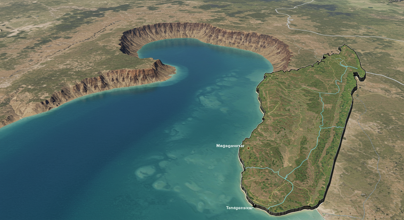
The island of Madagascar presents a tale of two distinct environmental zones. Its eastern flank is defined by a steep, linear escarpment that captures moisture from the Indian Ocean, feeding lush rainforests and powerful rivers like the Marimbona. This region features a young and dramatic topography. In stark contrast, the western side of the island slopes more gently toward the Mozambique Channel, characterized by a worn-down landscape of low-relief plateaus and remnant highlands. This geographical split has a profound impact on the island’s climate and, consequently, its ecosystems.
This division is the modern result of a violent tectonic past. Researchers have now connected this topography directly to two critical moments in the island’s history when it was ripped from its continental neighbors. These events did not just set the island adrift but initiated a long-term geological transformation that continues to shape it today. The study explains how the very bones of the island were broken and tilted, creating a foundation upon which its unique lifeforms would eventually arise and diversify.
The First Break: Separation from Africa
Madagascar’s journey as an island began long ago when it was embedded within the supercontinent Gondwana. The first major tectonic shift occurred approximately 170 million years ago when a massive rift began to separate the landmass that would become Madagascar from the African continent. This process was not gentle; as the crust stretched and thinned, it folded upward, giving rise to a formidable and rugged escarpment along the island’s western edge.
This initial breakup established the island’s first major geological orientation. The newly formed landmass tilted toward the east, creating a vast plateau that sloped down toward the Indian Ocean. For tens of millions of years, this eastward tilt dictated the island’s hydrology. The primary water divide—the topographical line separating drainage basins—was located in the west, and most rivers flowed eastward, carving deep valleys as they traveled across the plateau. This landscape remained the status quo for an immense period, a relatively stable phase in the island’s early history.
The Second Tilt: A Landscape in Reverse
The island’s geological story took a dramatic turn around 90 million years ago. A second great rifting event initiated on Madagascar’s eastern side, tearing it away from India and the Seychelles. This event fundamentally reshaped the island’s structure. As the crust thinned once again, the island tilted in the opposite direction, toward the west. This reversal had profound and lasting consequences for its entire surface.
Rewriting the River Network
The westward tilt triggered a complete reorganization of the island’s drainage system. According to Romano Clementucci of ETH Zurich, the lead author of the study, the water divide is the key to understanding Madagascar’s geography. After the second rift, this divide “jumped across the island,” shifting from the west to its present-day location in the east. Rivers that had flowed east for millions of years reversed their course, now draining west toward the Mozambique Channel. Other river systems were abandoned entirely as water was rerouted along the new, gentler western slope. This hydrological upheaval flipped the island’s erosion patterns, beginning the process of sculpting the two distinct landscapes seen today.
Forging a New Escarpment
The consequences of this second tilt are still visible. The once-mighty western escarpment, no longer at the forefront of the island’s drainage system, began a long process of erosion, evolving into the scattered highlands and worn-down plateaus that characterize western Madagascar. Simultaneously, a new, steep, and linear escarpment began to form along the eastern coast, creating the dramatic drop-off to the Indian Ocean that is now the island’s most recognizable feature. This younger eastern escarpment became the primary barrier to weather systems, creating the wet climate that sustains its rainforests.
A Geological Engine for Biodiversity
The study proposes that this dynamic geological history acted as a “speciation pump,” actively driving the evolution of new species. The repeated tilting of the landscape and the migration of the water divide created fragmented environments where populations of plants and animals could become isolated. Over millions of years, these isolated groups evolved independently, giving rise to the staggering number of endemic species found on the island today. The dramatic eastern escarpment, in particular, became a cradle for speciation due to its varied elevations and climates.
To verify their findings, the researchers used computer simulations to model Madagascar’s geological past. The models successfully recreated the island’s modern features, including the sharp eastern cliffs, the gentle western slope, and specific features in its rivers known as “knickpoints.” These sudden drops in river elevation are relics of the ancient changes in the island’s drainage, providing physical evidence for the historical tilting and rerouting of its water systems.
Broader Implications for ‘Quiet’ Regions
This research has implications that extend far beyond Madagascar. It challenges the traditional view of passive margins—regions such as South Africa, eastern India, Brazil, and Australia—as geologically quiet and stable. Although these areas are not active plate boundaries, the study shows they are highly dynamic landscapes that continue to evolve over millions of years. This slow but persistent geological activity leaves a lasting mark on topography, river networks, and ultimately, biodiversity.
By connecting deep tectonic forces to the evolution of life on the surface, the work adds a crucial new dimension to the theories of Alexander von Humboldt, who two centuries ago proposed a unified framework for understanding patterns in biodiversity. The findings demonstrate that to comprehend why certain regions are so biologically rich, one must look beyond climate and isolation and consider the deep time story told by the land itself. As Clementucci notes, the research adds “a new piece to the puzzle” by showing how ancient forces created the fragmented environments where so many unique species could thrive.